Report on the Regional Training Workshop on the Management of key sites along the western coast of Africa for migratory birds Download
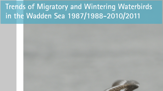
Wadden Sea Ecosystem 31: Trends of Migratory and Wintering Waterbirds in the Wadden Sea 1987/1988 - 2010/2011 Download